10/17/2014: Dobie Mountain to Rockfish Gap and back

Stashed a thermos of water at Rockfish Gap and then drove south on the Blue Ridge Parkway to the Humpback Rocks parking area. Rather than head up the popular/crowded route to the rocks, I took the Old Howardsville Turnpike trail. This allowed me to quickly hit the Appalachian Trail north, make a brief stop at the Glass Hollow Overlook (the views aren’t quite as big as those at Humpback, but I had the place all to myself), and then finish the almost eight-mile run to Rockfish Gap to re-fill water bottles. Roughly the same route back, except that I took the blue-blazed Albright Loop Trail shortly after passing the Paul C. Wolf Shelter. There’s a bit of old plane wreckage just off the Albright trail. 16 miles total.

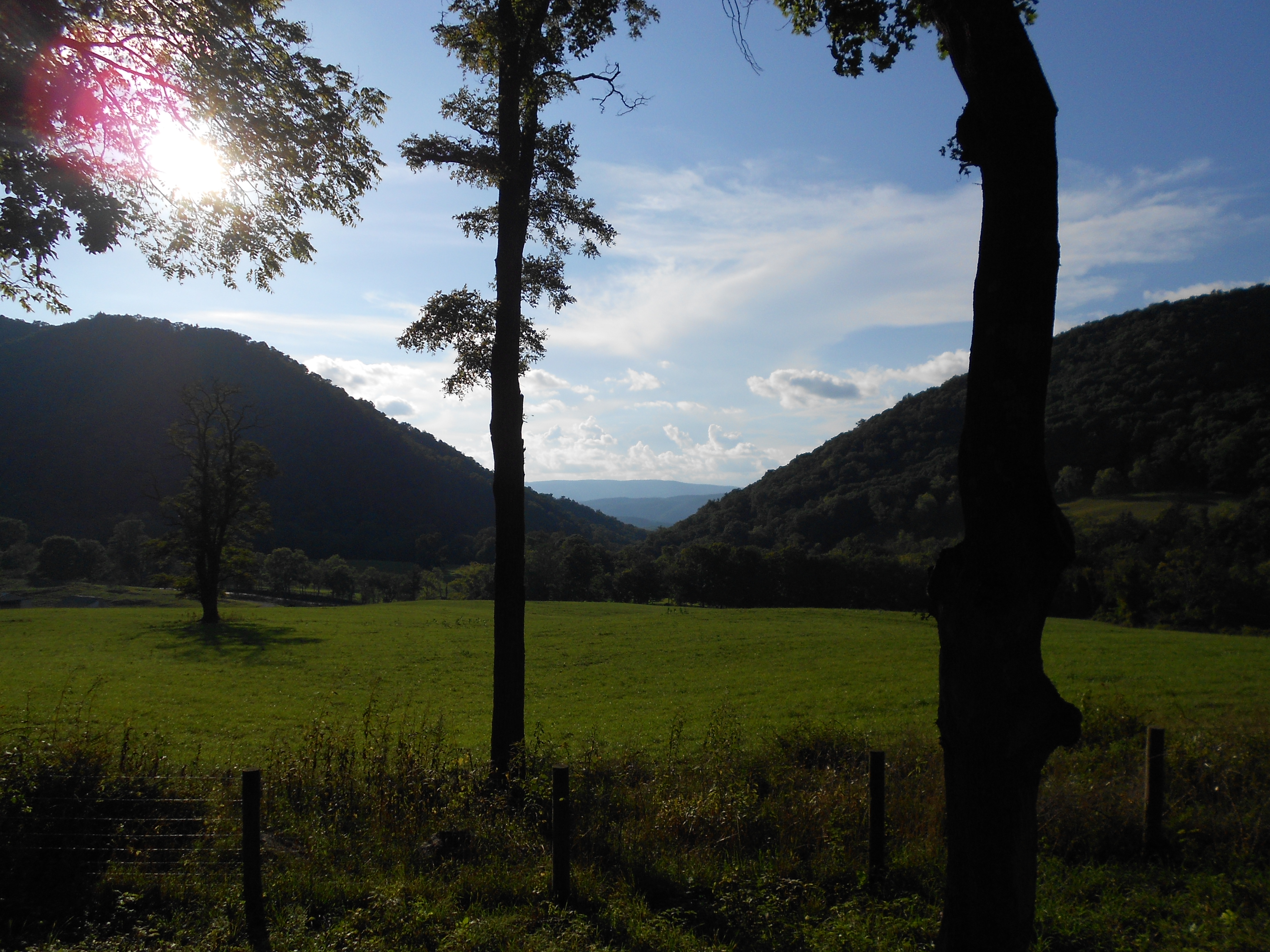
On the Old Howardsville Turnpike trail 48 seconds into my run.  I quickly  realized that I wouldn't get anywhere if I stopped for every vista.

On the Old Howardsville Turnpike trail 48 seconds into my run. The leaves sort of stopped me in my tracks when I first got out there, and I had to force myself not to grab for my camera at every vista.

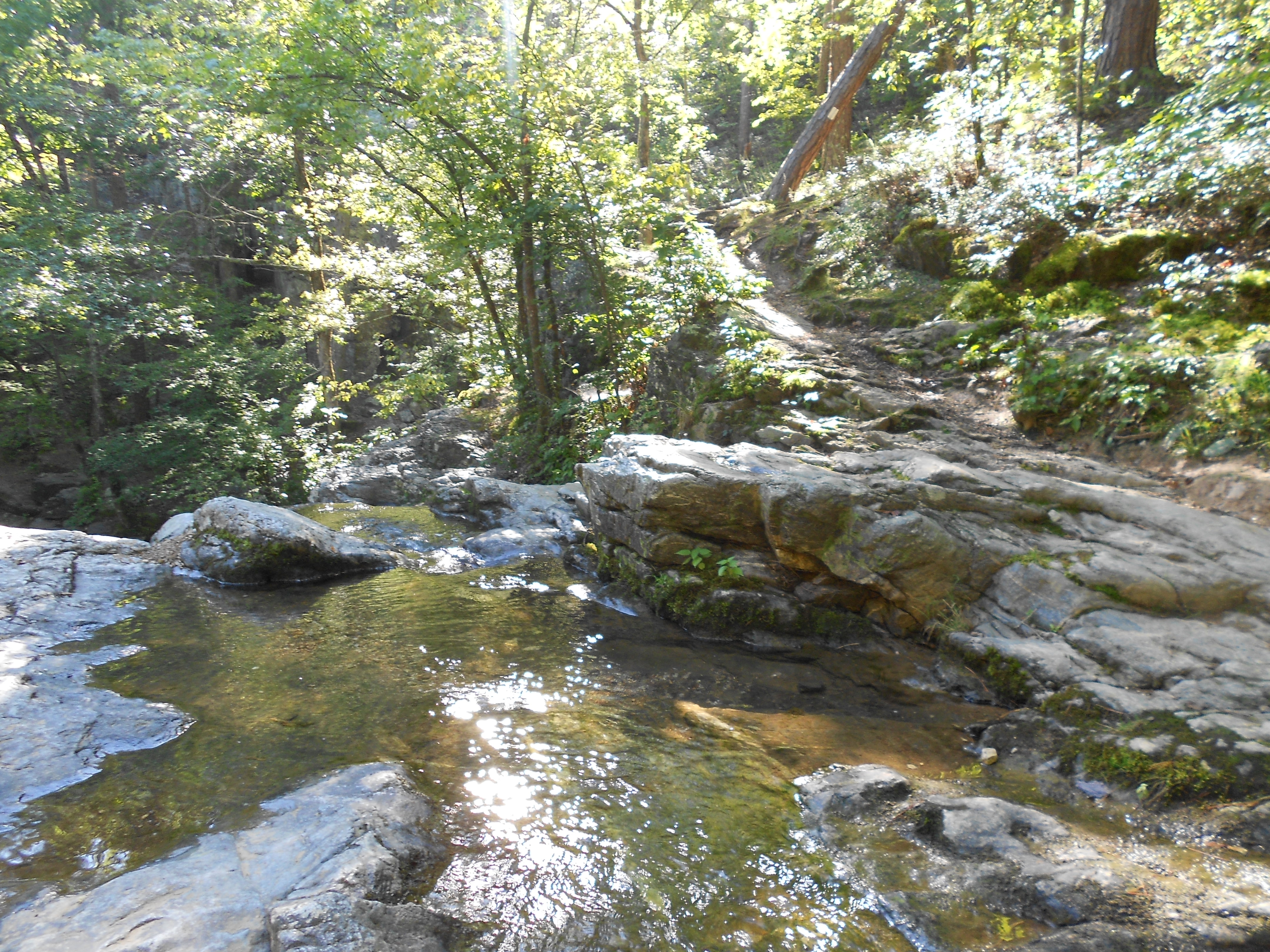
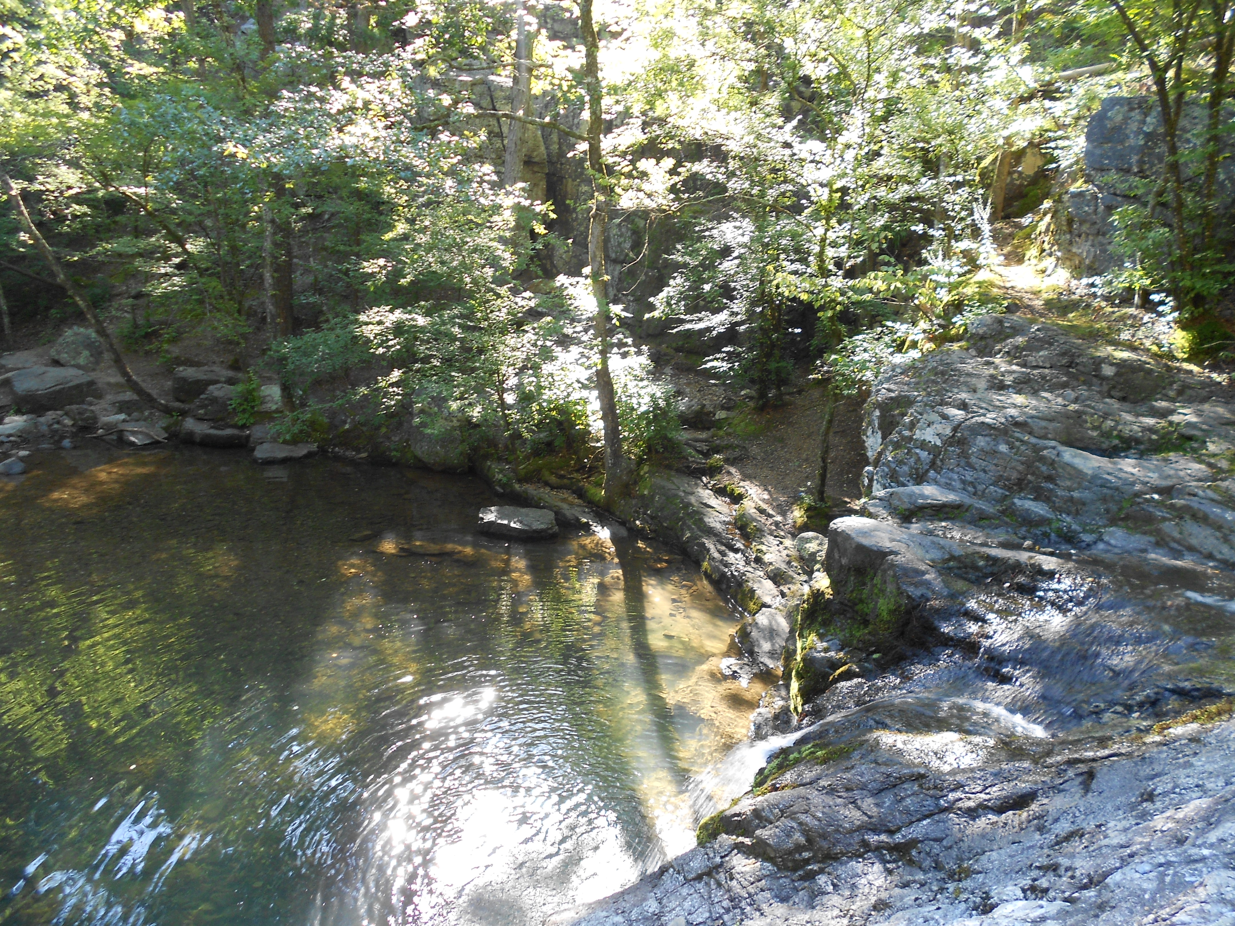
Glass Hollow Overlook.
Glass Hollow Overlook.

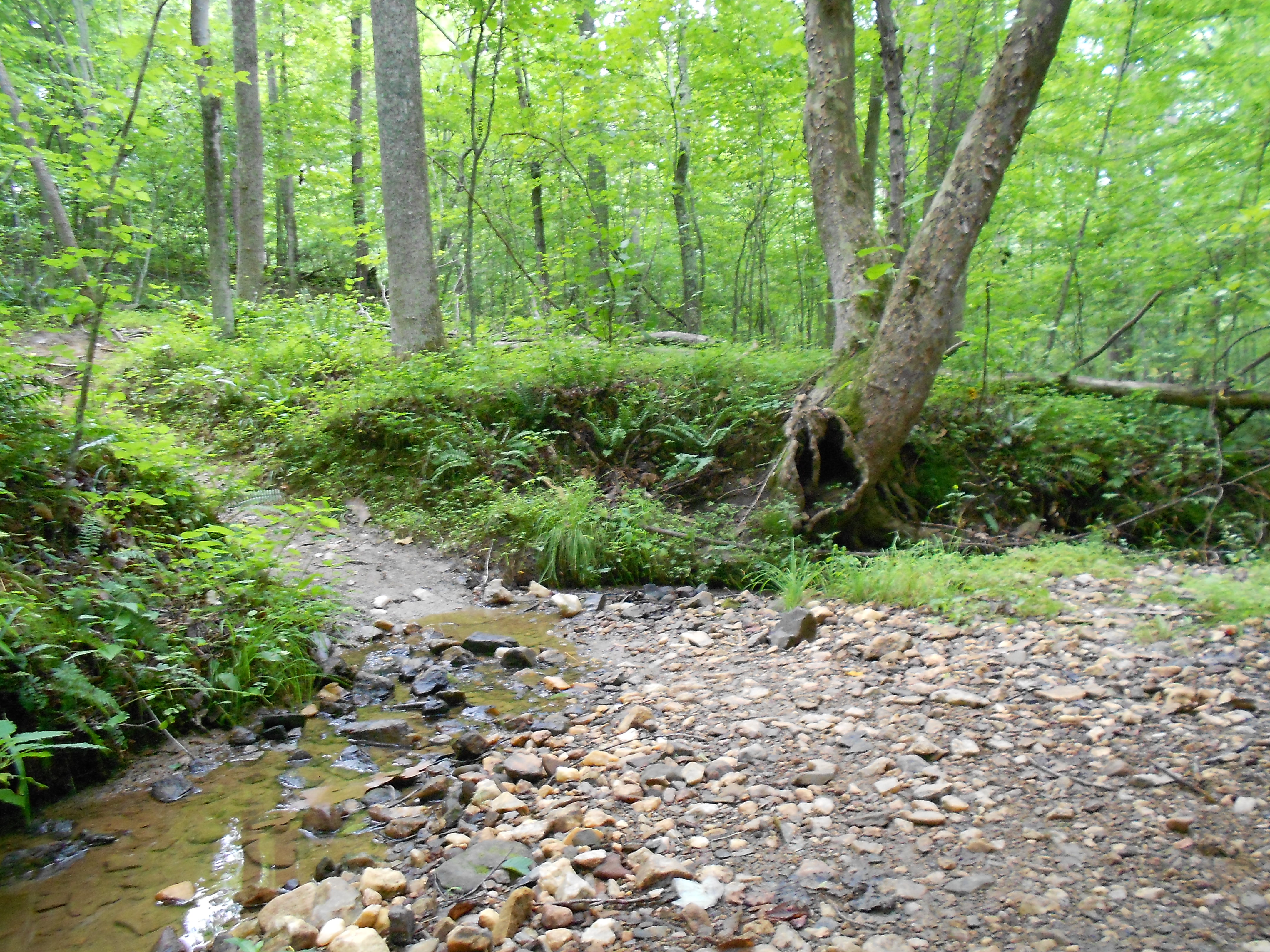
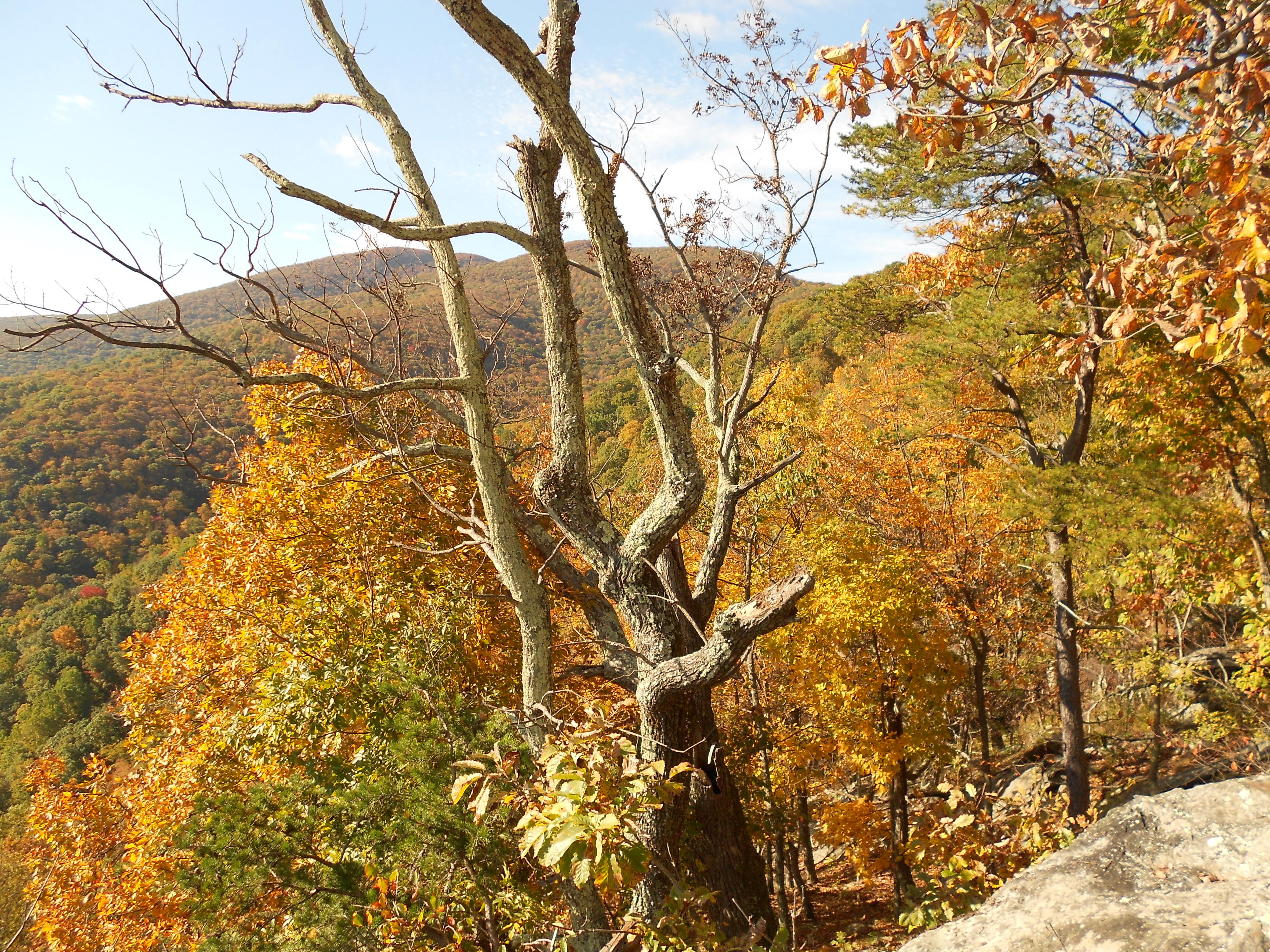
Tree.

9/27/2014: Belmead-on-the-James

Short drive to Powhatan on Saturday morning for the inaugural Belmead Trail Fest 50K.  Very well-organized, friendly event on a fun course. I was able to hang on to men’s third place with the unremarkable time of 5 hours, 6 minutes–though it did get me a $30 gift certificate, which works out to almost $1 per mile.

I asked Melissa to take some cool picture of the course, and I got a water tower.

I asked Melissa to take some cool pictures of the course, and I got this water tower.

9/6/2014: Douthat State Park

After spending Friday feeding wildebeest, etc., from our car, we made our way to The Inn at Gristmill Square in Warm Springs so I could run the Odyssey Trail Running Rampage marathon on Saturday morning.  Here is the short version of a race report: I was doing well during the first half of the race.  I then made two wrong turns (among other mistakes) and dropped.  Still, it was a beautiful course and a lot of fun.  (I covered a total of 19 miles, some of which was not on the course.)

Near the Gristmill Inn, between Warm Springs and Hot Springs on Hwy. 220 in Bath County.

With ostrich.

With ostrich.

8/22/2014: Lake Ouachita Vista Trail – Tompkins Bend

Parked at the Tompkins Bend trailhead to access the Lake Ouachita Vista Trail, which winds along the southern shore of Lake Ouachita. From Tompkins Bend, I ran approximately five miles east to the Joplin trailhead, and then back to Tompkins Bend to re-fuel before heading a few miles west toward Denby Bay. 15 miles total.

The lake en route to Joplin from Tompkins Bend.

View of Lake Ouachita en route to Joplin from Tompkins Bend.

20130725_Ouachita-Vista-Trail

8/16/2014: Ouachita National Recreational Trail – Lake Sylvia out-and-back

From the Lake Sylvia Campground parking lot, Wesley and I ran the Lake Sylvia spur trail for .5 Miles, picking up the Ouachita Trail at Mile 187 heading west up to North Fork Pinnacle (185), then down to Brown Creek (183), back up to Flatside Pinnacle (179), then down to Crystal Prong Creek (177), crossing over and turning around at approximately Mile 175.5. I was done after 18 miles, where we had staged a cooler to re-fuel, and waited for Wesley to pick me up after he ran the last 5 miles back to Lake Sylvia to get the car. But other than the dizziness and dehydration, it was a very nice outing.

The view just down from Flatside Pinnacle.

The view just down from Flatside Pinnacle.

Crystal Prong Creek, looking upstream.

Crystal Prong Creek, looking upstream.

8/13/2014: Lake Catherine State Park

Route: This is one of my favorites: Very fun, diverse trails that are technical in spots–but runnable enough so that you don’t get bogged down with a lot of hiking–and just five miles from our place in Arkansas.  From the trailhead, I ran the Falls Branch Trail counterclockwise until I got to the waterfall, where I hit the Dam Mountain Trail and ran the entire loop back to the waterfall counterclockwise. I then finished the Falls Branch trail back toward the trailhead, where I hit the Horseshoe Mountain Trail. Ended with another loop on Dam Mountain Trail, clockwise this time.  10 miles total.

Bathhouses visited post-run: Superior Bathhouse (for the sustenance) and Quapaw Bathhouse (for the baths)

The stream at the top of the waterfall, with the entrance of the Dam Mountain Trail just beyond.

The stream at the top of the waterfall, with the entrance of the Dam Mountain Trail just beyond.

Looking down over the waterfall.

Looking down over the waterfall.

8/2/2014: Preddy Creek perimeter trails x4

Route: From the parking lot, I ran the “Preddy Creek Loop” trail clockwise, which I extended by tacking on the “Advanced Mountain Loop” and the “Meadow Loop” trails (totaling around 4.5 miles). I then ran this same route–except that I added the Creekside Trail–three more times (counterclockwise), before finishing with around two miles on Burnley Station Road (20 miles total).

Stream crossing toward the back of the

Stream crossing toward the back of the “Advanced Mountain Bike Loop” trail.

PreddyCreek.jpg

7/25/2014: Humpback Gap to Reeds Gap via AT

After a quick loop around the farm buildings at the Humpback Rocks Visitor Center, my proper “run” began at Humpback Gap with a one-mile march to Humpback Rocks (around 15 minutes to the base of the rocks). From the rocks, I hit the Appalachian Trail south and stayed there until Reeds Gap, aside from two short detours (going out and coming back) to re-fill water bottles at the Humpback Rocks Picnic Area. This route had me crossing the Blue Ridge Parkway three times: Dripping Rock, Three Ridges Mountain, and Reeds Gap.  22.25 miles total.

Looking north from Humpback Rocks around 8:30 a.m.

Looking north from Humpback Rocks around 8:30 a.m.

Looking west from Humpback Rocks around 8:30 a.m.

Looking west from Humpback Rocks around 8:30 a.m.

7/19/2014: Carter Mt. / Monticello Trails

Route: Standard route from my house in Mill Creek South subdivision: North on Avon Street Ext., right on Mill Creek Drive, left on Middlebrook Ln. just past Monticello High School, through the clump of trees onto Willow Lake Dr., and then through the gate on Hwy. 20 into the meadow behind the Monticello Trail. From there, a few loops on the singletrack up the flank of Carter Mt. and then back home (11.25 miles total)

The trail near the top of Carter Mt., just under the orchard.

The trail near the top of Carter Mt., just under the orchard.