7/17/2015: Sugar Hollow – Turk Branch – Blackrock Summit

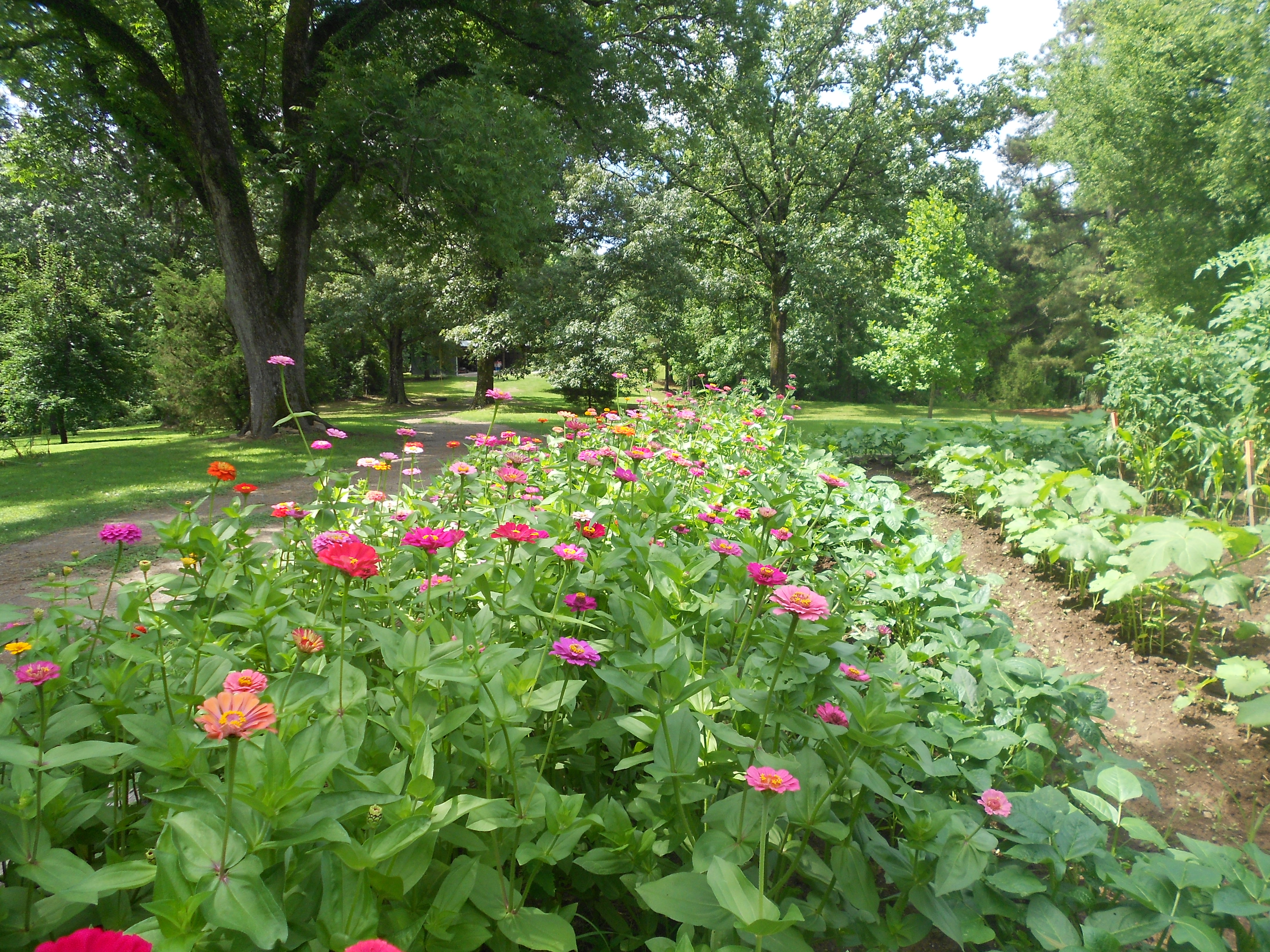
Basically a 20-mile loop with a detour up Blackrock Summit.  Beginning at the Sugar Hollow parking area, headed up to Blue Hole and onto the Turk Branch Trail; then hit the Appalachian Trail north for several miles, all the way to Blackrock Summit.  After backtracking down the summit, hit the N.F. Moormans River Trail to complete the loop back to the parking area.  Around 4 miles in (on the Turk Branch Trail), I saw two (large) bears.

Just above Blue Hole.

Just above Blue Hole.

Lunch on Blackrock Summit.

Lunch on Blackrock Summit.

3/14/2015: Francis Marion National Forest

Approximately 55 miles running, kayaking, mountain biking, and orienteering with my brother and dad in the Swamp Fox Adventure Race (in the Francis Marion National Forest) to celebrate my dad’s 60th birthday.  We were a bit inefficient in terms of navigation (some of the triangulation was particularly tricky for us) because it was our first shot at this sort of thing, but it was a ton of fun.

Plotting UTM coordinates pre-race, just before getting dumped in the middle of a swamp with a map and compass.

Plotting UTM coordinates pre-race, just before getting dumped in the middle of a swamp with a map and compass.

2/21/2015: St. Mary’s River State Park

Short drive to southern Maryland to run the Frozen Heart 50K, which took place on the trails in St. Mary’s River State Park.  This appeared to be a fast course, but that was before it got dumped with snow earlier in the week (six plus inches on the trails; I was lucky to finish only an hour after my original goal time).

Approaching the lake's levee.

The view approaching the lake’s levee.

FrozenHeart50K

All in all, a pretty nice way to spend the morning.

1/16/2015: Sugar Hollow to Black Rock Summit +

Route: From the first parking area at Sugar Hollow, ran six miles or so to the Shenandoah National Park, linking up with the Appalachian Trail at Black Rock Gap.  Followed the AT north to the summit of Black Rock, continuing north for another mile or so before heading back to Sugar Hollow.  16.25 miles total.

DSCN1939[1]

Shot of the waterfall at Sugar Hollow, taken shortly after I fell in a stream (the first time).

 DSCN1947[1]

Looking downstream from the waterfall.

DSCN1957[1]

Looking out from Black Rock Summit, where there was around an inch of snow on the AT.